Closing in
0
...
Menu
Search
LATEST
AIRCRAFT FOR SALE
TRENDING TOPICS
Safety
Accidents
Cabin Interior and Electronics
Aircraft
Avionics
Unmanned Aerial Vehicles
Regulations and Government
Engines
Sustainability and Environment
FBOs
Finance, Taxes, Insurance
Charter & Fractional
Rotorcraft
Operations
TRENDING ARTICLES
View All
SECTIONS
Business Aviation
Defense
Aerospace & Air Transport
FutureFlight
Rotorcraft
General Aviation
SUSTAINABILITY & ENVIRONMENT
CHANNELS
Aircraft
Maintenance
Avionics
Charter & Fractional
Safety
All Categories
News Archive
Newsletter Archive
MORE
AIN FBO Survey
Airshows & Conventions
Aviation Events
Compliance Countdown
Expert Opinion
In-Depth Reports
Leeham News & Analysis
Print Archives
Videos
Webinars
Whitepapers
ABOUT
About AIN
Our Writers
History
Advertise
Contact Us
Subscribe
LATEST
POPULAR
AIRCRAFT FOR SALE
SECTIONS
ABOUT
Search
Subscribe
Search
Avionics
Collins Aerospace - Digital Oceanic Plotting Chart for Pilots
Share
Post
Share
Print
Copy
Email
June 21, 2021
More In Avionics
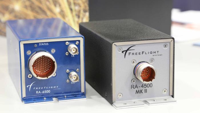
FAA Issues Radio Altimeter Upgrade Mandate
Covers most aircraft operated under Part 135 and 91K, and some under Part 91
Avionics
Garmin Axis Flight Display Earns FAA and EASA Approval
System integrates GPS, navcom and audio in one display
Avionics
FAA Deploying Mobile Clearance for Genav/Bizav Pilots
U.S. nationwide service will begin in 2027
Avionics
Aspen Avionics Manufacturing Moves to Phoenix
Company plans innovative avionics developments for aircraft and drones
Avionics
Moog Receives FAA Nod for Autopilot on Black Hawk
Unit is first four-axis approved for the Black Hawk
Avionics
Collins Maps Automation Push for Flight Deck, ATC
Automated checklists and transcribed clearances lead near-term work
Avionics
Acron To Supply Flight Recorders for D328eco
Parent company rebrands to Acron Technologies
Avionics
Dynon SkyView Displays Incorporate Remote Audio Panel
New features can be controlled by touchscreen
Avionics