Closing in
0
...
Menu
Search
LATEST
POPULAR
AIRCRAFT FOR SALE
SECTIONS
Business Aviation
Defense
Aerospace & Air Transport
FutureFlight
Rotorcraft
General Aviation
SUSTAINABILITY & ENVIRONMENT
CHANNELS
Aircraft
Maintenance
Avionics
Charter & Fractional
Safety
All Categories
News Archive
Newsletter Archive
MORE
AIN FBO Survey
Airshows & Conventions
Aviation Events
Compliance Countdown
Expert Opinion
In-Depth Reports
Leeham News & Analysis
Print Archives
Videos
Webinars
Whitepapers
ABOUT
About AIN
Our Writers
History
Advertise
Contact Us
Subscribe
LATEST
POPULAR
AIRCRAFT FOR SALE
SECTIONS
ABOUT
Search
Subscribe
Search
Avionics
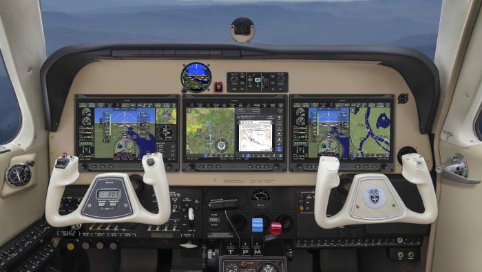
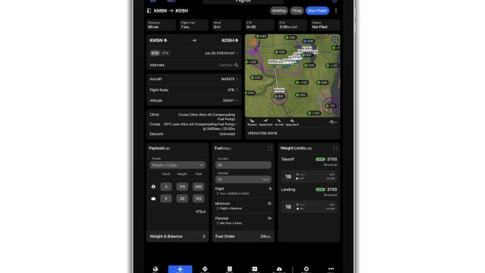
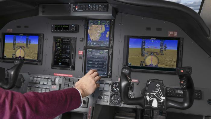
Garmin Pilot Improves Global Features
New versions of Garmin's Pilot app are available for both the iOS and Android platforms.
Garmin Pilot app users can use the new autorouting feature to select routing in complex European airspace.
Share
Post
Share
Print
Copy
Email
By
Matt Thurber
• Editor-in-Chief
April 3, 2017
More In Avionics
Garmin Unveils Axis Avionics with Prime Elements for GA
Displays feature built-in GPS navigators, navcoms, and audio panels
Avionics
Garmin Pilot Apple Update Brings Three App Enhancements
FISK arrival procedure updated ahead of AirVenture 2026
Avionics
Iridium Completes Acquisition of Aireon
Aireon will continue as a wholly owned subsidiary
Avionics
Garmin Expands Navigation Database To Include Africa
Adds 40 countries in Africa with airspace info, IFR procedures, frequencies, etc.
Avionics
Pro Star Earns STC for Gogo Galileo on Pilatus PC-12
System can maintain connectivity over open water, in remote areas, and in polar regions
Avionics
GFD Picks Universal Avionics for Learjet 35A/36A Upgrade
Modification replaces original instrumentation with glass cockpit displays
Avionics
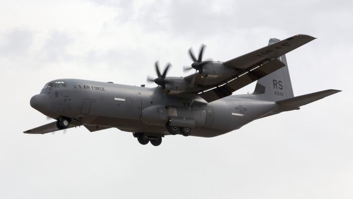
Merlin’s Autonomous C-130J Passes Critical Design Review
USSOCOM program advances into aircraft integration phase
Avionics
Dynon Adapts Light Sport Avionics for Air eVTOLs
Air One eVTOL will feature customized SkyView HDX avionics
Avionics