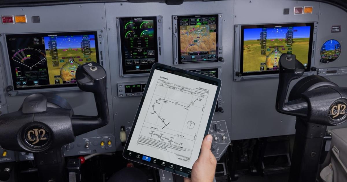
Garmin has added more guided visual approaches to its database of visual procedures for challenging airports, now including some in Mexico. The company also released new features on the Garmin Pilot app and Garmin Pilot Web, notably SmartCharts airport diagrams.
The guided visual approaches are designed in collaboration with Hughes Aerospace and now serve 56 airports and 77 procedures. The 12 new approaches cover eight airports: Albuquerque, New Mexico (KABQ); Hayden, Colorado (KHDN); Cabo San Lucas, Mexico (MMSL); and others.
Pilots flying with WAAS-equipped Garmin avionics capable of radius-to-fix legs can use the guided visual approaches. The capable avionics include GTN and GTN Xi navigators and select Garmin integrated flight decks. These approaches give pilots lateral and vertical guidance to the runway end, and they can be flown coupled to the autopilot. Approach charts are georeferenced so pilots can see their own-ship position on the chart while flying the procedure.
“Guided visuals can enable pilots to fly more stabilized visual approaches, especially in faster aircraft or when flying into airports in areas of higher terrain and obstacles,” according to Garmin. “Guided visuals also aid pilots flying visual approaches into airports surrounded by cityscapes and lights at night, making it easier to stay in visual contact with the runway.”
Garmin has released new features on the Garmin Pilot app and Garmin Pilot Web, including composite radar coverage for Mexico, additional composite radar coverage in Canada, and a new forecast cloud layer with information on cloud tops, bases, and coverage. Starting today, SmartCharts airport diagrams with depictions of graphical notams will be available on Garmin Pilot Web. These provide color-coded overlays showing runway, taxiway, and ramp closures on the airport diagrams.
In this article
More In Avionics