Closing in
0
...
Menu
Search
LATEST
POPULAR
AIRCRAFT FOR SALE
SECTIONS
Business Aviation
Defense
Aerospace & Air Transport
FutureFlight
Rotorcraft
General Aviation
SUSTAINABILITY & ENVIRONMENT
CHANNELS
Aircraft
Maintenance
Avionics
Charter & Fractional
Safety
All Categories
News Archive
Newsletter Archive
MORE
AIN FBO Survey
Airshows & Conventions
Aviation Events
Compliance Countdown
Expert Opinion
In-Depth Reports
Leeham News & Analysis
Print Archives
Videos
Webinars
Whitepapers
ABOUT
About AIN
Our Writers
History
Advertise
Contact Us
Subscribe
LATEST
POPULAR
AIRCRAFT FOR SALE
SECTIONS
ABOUT
Search
Subscribe
Search
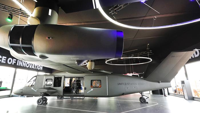
Rotorcraft
Synthetic Vision with Infrared Becomes Helicopter’s SmartView
SmartView
Share
Post
Share
Print
Copy
Email
By
AIN Staff
• AIN Staff
June 2, 2013
More In Rotorcraft
Toray Will Make Composite Airframes For Sora eVTOL
Supplier agreement aims to accelerate development of Sora S-1 eVTOL
Rotorcraft
Bell Helicopter Deliveries and Revenues Rise in Q2
Bell delivered 36 commercial helicopters, up from 32 in Q2 2025, although segment profit slipped 6%
Rotorcraft
Fundamental Advisors Acquires BlueSky Helicopters
Additional five aircraft bring asset manager’s helicopter fleet to 24
Rotorcraft
UK Joint Aviation Command Chinook Helicopter Flying Display at Farnborough Airshow 2026
Watch the agility of this massive dual-rotor helicopter.
Rotorcraft
Rotortrade CEO Bullish on Helicopter Market Shift
In a first-half market report, the executive noted inventory pressure
Rotorcraft
Bell 505 Hits 700 Deliveries at Farnborough Airshow
Type has logged more than 390,000 flight hours
Rotorcraft
Sikorsky Eyes European Production Line for NGRC
Company is studying advanced airframe configurations for the NATO medium helicopter replacement program
Rotorcraft
Cheyenne II Tiltrotor Accelerates Toward First Flight
Completed sub-assemblies are coming together for the first test vehicles
Rotorcraft