Closing in
0
...
Menu
Search
LATEST
POPULAR
AIRCRAFT FOR SALE
SECTIONS
Business Aviation
Defense
Aerospace & Air Transport
FutureFlight
Rotorcraft
General Aviation
SUSTAINABILITY & ENVIRONMENT
CHANNELS
Aircraft
Maintenance
Avionics
Charter & Fractional
Safety
All Categories
News Archive
Newsletter Archive
MORE
AIN FBO Survey
Airshows & Conventions
Aviation Events
Compliance Countdown
Expert Opinion
In-Depth Reports
Leeham News & Analysis
Print Archives
Videos
Webinars
Whitepapers
ABOUT
About AIN
Our Writers
History
Advertise
Contact Us
Subscribe
LATEST
POPULAR
AIRCRAFT FOR SALE
SECTIONS
ABOUT
Search
Subscribe
Search
Safety
Aviation software for the really small screen
With Palm- and Windows-based personal digital assistants (PDA) rivaling the capabilities of larger PCs and laptops, it’s no wonder that hundreds of aviatio
Share
Post
Share
Print
Copy
Email
By
Chad Trautvetter
• Online Editor
October 30, 2006
More In Safety
FAA SAFO Recommends Operators Save CVR Recordings
Concern is that valuable safety data is not being saved after an incident
Safety
Nimbl: Procedural Errors Top Cause of Bizav Incidents
Most reports cited two or more contributing risk factors
Safety
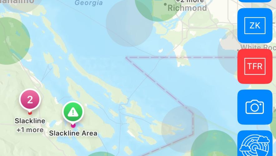
Hughes App Highlights Slacklines in Route Planning
Free service helps pilots evaluate risk before flight
Safety
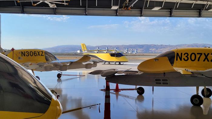
Wisk, Boeing Sued over eVTOL Software Safety Claims
Fired software manager alleges retaliation, discrimination
Safety
Helping Families through Emergencies
Fireside Partners’ Gina Shealy advises on the difficult task of family notification
Safety
Bombardier Opens Registration for Flight Attendant Safety Summit
Aviation Secure’s Kristopher Cannon returns as a presenter
Safety
FAA Investigates Bizjet Runway Incursion at Miami Int’l
An American Airlines A319 rejected takeoff when a Phenom 300 crossed the runway
Safety
AINsight: Threat-forward Briefings Are Smart and Safe
Skip the formulaic approach/departure briefings for ones that highlight specific threats and create open dialogue
Safety